The visual language of spatial planning exploring cartographic representations for spatial planning in Europe
Stefanie Dühr
- Nueva York (Estados Unidos) Routledge 2006
- xvi, 196 páginas
- RTPI Library Series 15 .
European spatial development and cartographic representations. -- Theoretical perspectives on policy-making and planning, cartographic communication and the use of cartographic representations in the planning process. -- Conceptualising the context, form and use of cartographic representations in formal and informal planning processes. -- The style and content of cartographic representations in strategic spatial planning in the Netherlands, Germany and England. -- The use of cartographic representations in the development of the European spatial development perspective (ESDP). -- The visual langue for spatial planning in Europe.
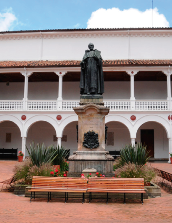
 Historia y símbolos
 Enfoque estratégico
 Gobierno universitario
 Playbok - Nuestros pilares de transformación
 Protocolo de seguridad
 Archivo histórico
 Portafolio de becas, descuentos y apoyo financiero
 Casa UR


 Escuela de administración
 Facultad de Jurisprudencia
 Facultad de Ciencias
 Escuela de Ciencias
 Escuela de Medicina
 Facultad de Economía
 Facultad de Estudios
 Facultad de Creación
 Escuela de Ingeniería,
 Otras Ofertas


 Proyección social
 Filantropía
 Hagámoslo posible