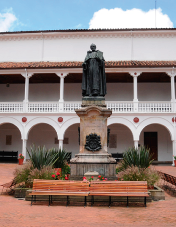
Historia y símbolos
 Enfoque estratégico
 Gobierno universitario
 Playbok - Nuestros pilares de transformación
 Protocolo de seguridad
 Archivo histórico
 Portafolio de becas, descuentos y apoyo financiero
 Casa UR

- La Universidad
-
Oferta académica
Oferta académica

- Financiación
-
Sociedad y filantropía
Sociedad y Filantropía

- La Universidad
-
Oferta académica
-
 Escuela de administración
-
 Facultad de Jurisprudencia
-
 Facultad de Ciencias
Naturales -
 Escuela de Ciencias
Humanas -
 Escuela de Medicina
y Ciencias de la Salud -
 Facultad de Economía
-
 Facultad de Estudios
Internacionales, Políticos
y Urbanos -
 Facultad de Creación
-
 Escuela de Ingeniería,
Ciencia y Tecnología -
 Otras Ofertas
-
- Financiación
Guía de servicios


 Proyección social
 Filantropía
 Hagámoslo posible
 Libro
Libro